"You only need features to sell a product, but relationships help to build successful solutions." - Tony Bradshaw, President
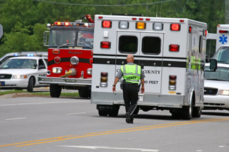
Public SafetyInnovative public safety GIS applications from BCS empower Police, Fire, & EMS agencies to enhance protection and provide better services to their communities.
|
GIS ServicesFrom design and implementation to full application development, BCS creates turnkey solutions for clients ranging from small businesses to Fortune 500 companies.
|
Mobile GIS/GPSBy partnering with respective leaders in the GIS and GPS fields, BCS is leading the industry towards the utilization of Mobile GIS as part of a total enterprise solution.
|
MARVLIS
Mobile Area Routing and Vehicle Location Information System™ (MARVLIS) is a decision engine that creates effective dispatch options using real-time analytics, extending your CAD capabilities, to enhance immediate responses while also making deployment more efficient to proactively maintain your response capabilities for the next call – even before it arrives.
What we've been up to. |
Where will we be next?Through the years, we've come to realize that relationships are the most important part of what we do. Because of that, we take every opportunity we can to get out of the office and invest time in them. Here are just some of the places where we will see you soon: |


